
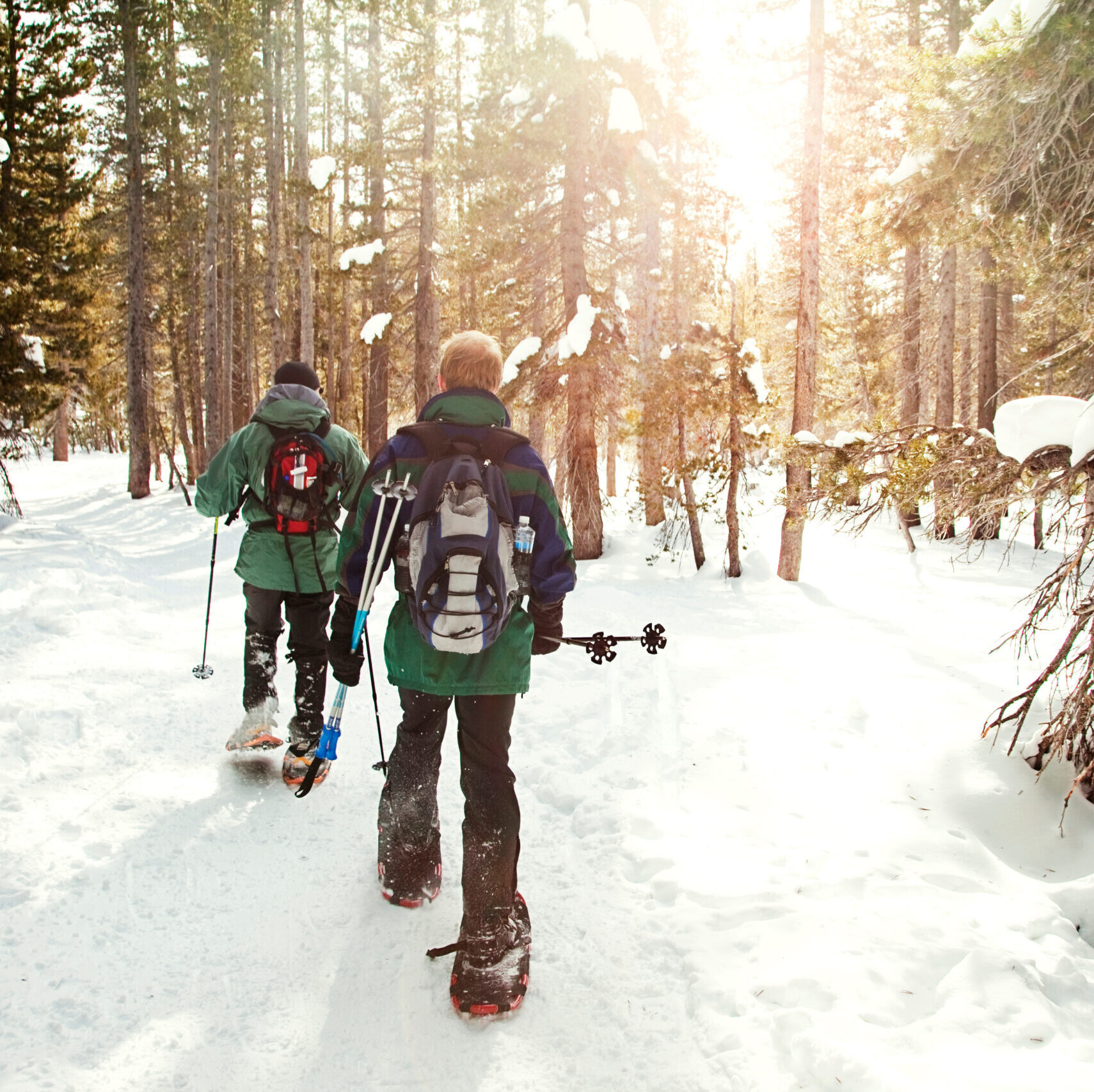
Northumberland County Forest offers multiple locations for snowshoeing. The best places to snowshoe are on the Woodland Trails and the Oak Ridges Trail.
The Single Track Trails, located east of Beagle Club Road, are also available for snowshoeing but are more difficult.
Please note Beagle Club Trails (west of Beagle Club Road) are open for cross-country skiing only from December 1 to March 31.
Trailhead parking locations
Woodland Trails
- Main Trailhead Address: 7363 County Road 45, Roseneath
- Get here by GPS: 44.119,-78.092
- Oak Ridges Trailhead: 6653 County Road 45, Baltimore
Single-Track Trails
- Address: 180 Beagle Club Road, Harwood (Single-Track Trails are located east of Beagle Club Road)
- Get here by GPS: 44.096,-78.105
Trail Maps
Woodland Trails
The Woodland Purple Finch (3 km), Black Oak (7.5 km) and Sweet Fern (9 km) loops share some common trail. Users can choose to go right or left at the first split and will find signage for the loops in either direction.
Oak Ridges Trail
Oak Ridges Trail is part of the Woodland Trails. Parking for the Oak Ridges Trail is located at Morris Road and County Road 45. From this trailhead, users can head west or east (approximately 8.5 km either way).
Single-Track Trails
The Single Track Trails, located east of Beagle Club Road, are narrow and windy with some steep hills. Snowshoers share this trail with hikers and adventurous mountain bikers.