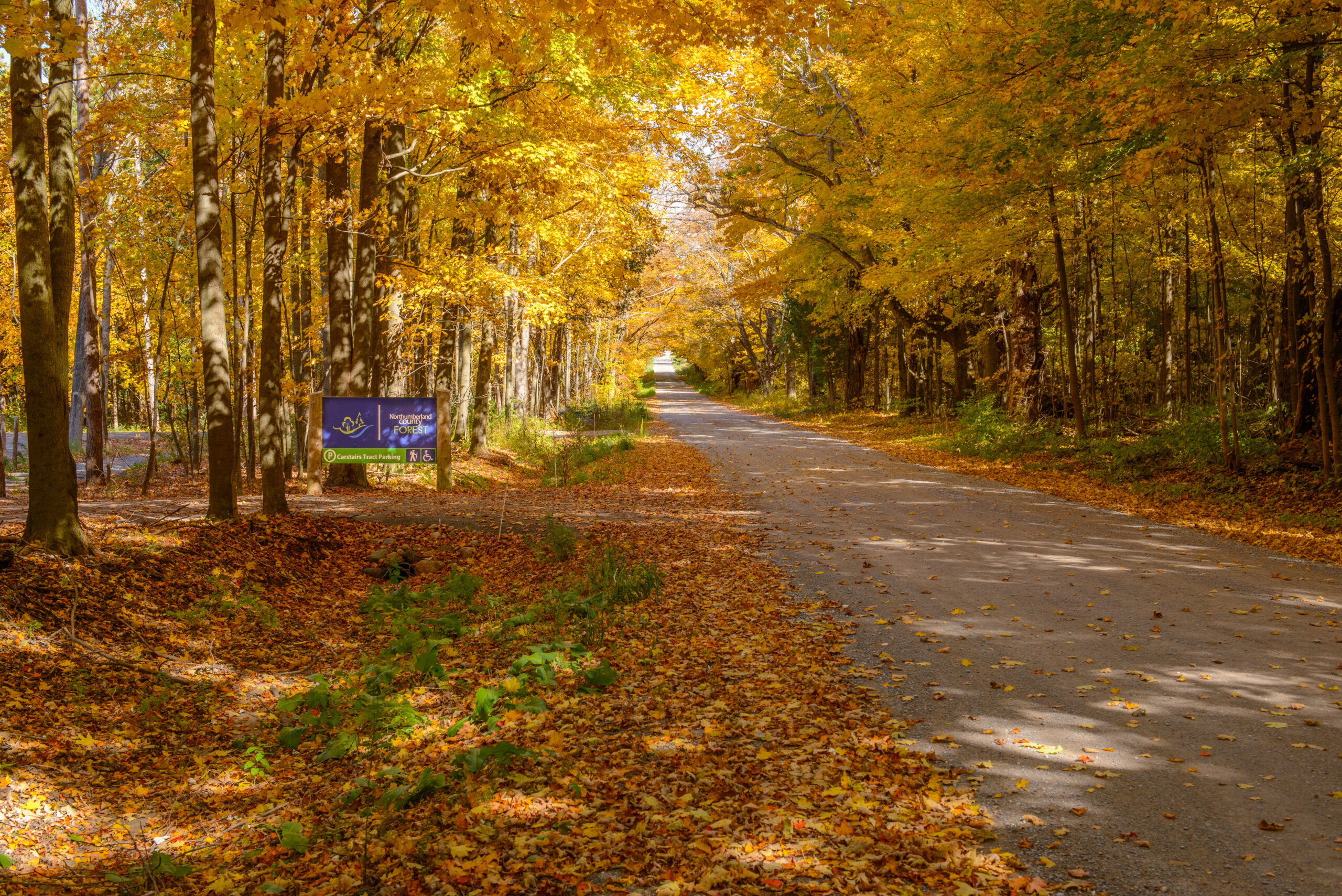
The County Forest has over 118 km of trails with over 100,000 visitors per year.
The trail network includes approximately:
- 36 km of non-motorized double-track trails and 6 km of non-motorized single-track trails
- 47 km of motorized double-track trails and roads and 7 km of motorized single-track trails
- 15 km of hiking only trails
- 5 km of universal trails
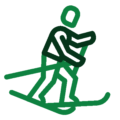
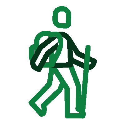
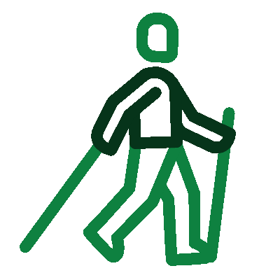
The Northumberland County Forest provides many recreational trail opportunities. Click on an icon below to access information, maps and etiquette related to the different trail uses.


Trailhead locations
- Beagle Club Trailhead: 180 Beagle Club Road, Harwood
- Morris Road Trailhead: 6653 County Road 45, Baltimore
- Woodland Trailhead: 7363 County Road 45, Roseneath
- McDonald Road Trailhead: 507 McDonald Road, Grafton
- Carstairs Universal Trailhead: 1178 Bowmanton Road, Roseneath
Getting here by GPS
If you are using a GPS to get to the Northumberland County Forest, here are approximate latitude and longitude co-ordinates:
- Beagle Club Trailhead: 44.096,-78.105
- Morris Road Trailhead: 44.090,-78.102
- Woodland Trailhead: 44.119,-78.092
- MacDonald Road Trailhead: 44.102,-78.050
- Carstairs Universal Trailhead: 44.122262, -78.109584
Discover more trails in Northumberland
To discover additional trails located throughout Northumberland, visit the Northumberland Tourism website.
Follow us
Follow us on Facebook for seasonal reminders, trail closure notices, and more.